Begin with the maintenance task
Network screening, engineering investigation and setting out a small repair do not require identical location performance. Define what the receiving team needs to do. A section-level condition summary may work with a road identifier and chainage range; a small isolated finding may require lane, direction, offset and a supporting photograph.
Separate accuracy from precision. A cluster of closely repeated positions can still be displaced from the true location. Avoid displaying more decimal places as a substitute for a quality statement. Record how positions were obtained, the checks performed and the conditions that may have degraded the solution.
Follow the mapping sequence
- Synchronise the observation. Link each image or measurement to a stable timestamp and document clock offsets.
- Estimate the platform position. Combine the available positioning sensors while preserving their quality indicators.
- Locate the observed surface. Account for the camera’s mounting offset, orientation and viewing geometry.
- Assign the road reference. Attach road identifier, direction, lane and chainage where the network model supports them.
- Verify and publish. Check representative locations independently and deliver the evidence with its metadata.
Know the positioning ingredients
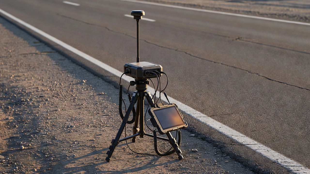
Global Navigation Satellite Systems, or GNSS, include GPS, Galileo and other satellite constellations. Reception can degrade near tall buildings, trees, cuttings and covered sections. Multipath occurs when signals reflect before reaching the receiver. An apparently smooth track does not prove that these effects were absent.
Real-time kinematic positioning, often called RTK, can improve positioning under suitable conditions using correction information. Its availability and quality still need monitoring. A solution status should be retained rather than assuming every sample achieved the same performance. Correction loss and transitions between solution modes deserve explicit review.
An inertial measurement unit can help bridge motion between position updates, while wheel-distance measurements provide another constraint. These sensors also have errors. Their combination depends on calibration and processing assumptions. The receiver’s location is not automatically the defect’s location: the offset to the camera and the projection onto the pavement must be considered.
Declare the coordinate reference system
Coordinate values are incomplete without their reference system. WGS 84 geographic coordinates are familiar, but engineering workflows often use a suitable projected system. In Ireland, Irish Transverse Mercator is identified as EPSG:2157. In Great Britain, British National Grid is EPSG:27700. Selection depends on the project and the authoritative network data.
Document transformations, units and axis order when moving between systems. A map that appears nearly correct can still contain a systematic shift. The EPSG Geodetic Parameter Dataset provides reference definitions; software should use an appropriate transformation rather than merely relabelling coordinates. Height information introduces further reference questions and should not be inferred from a two-dimensional map.
Keep the road reference stable
Linear referencing describes a location along a known route, often by distance from a defined origin. ISO 19148 addresses linear referencing concepts. A useful record can include both geometry and a route-based reference, making it easier to connect survey findings to maintenance systems that organise work by road section.
Road networks change. Junction realignments, revised lane definitions and new segmentation can move a finding’s apparent chainage without moving the physical defect. Store the network version used for matching. At junctions and parallel carriageways, review automated map matching carefully: the nearest line is not always the correct road.
Deliver evidence that survives handover
A practical export includes a unique finding identifier, observation time, road reference, geometry, defect class, review status, image link and location-quality information. Keep the original sensor records accessible under a clear retention policy. GeoPackage, defined by the Open Geospatial Consortium, can be useful for exchanging spatial layers; GeoJSON is another common option for simpler web workflows.
Use independent checkpoints and representative route checks to assess positional performance. QGIS can help inspect layers, while PostGIS supports spatial data management; neither software choice guarantees data quality. Describe gaps and doubtful matches directly. Once the location is trustworthy enough for the task, maintenance planning can combine it with consequence, treatment options and available resources.